Advertisement

-
Published Date
May 24, 2023This ad was originally published on this date and may contain an offer that is no longer valid. To learn more about this business and its most recent offers, click here.
Ad Text
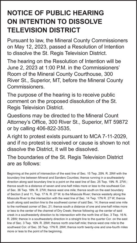
NOTICE OF PUBLIC HEARING ON INTENTION TO DISSOLVE TELEVISION DISTRICT Pursuant to law, the Mineral County Commissioners on May 12, 2023, passed a Resolution of Intention to dissolve the St. Regis Television District. The hearing on the Resolution of Intention will be June 2, 2023 at 1:00 P.M. in the Commissioners' Room of the Mineral County Courthouse, 300 River St., Superior, MT, before the Mineral County Commissioners. The purpose of the hearing is to receive public comment on the proposed dissolution of the St. Regis Television District. Questions may be directed to the Mineral Count Attorney's Office, 300 River St., Superior, MT 59872 or by calling 406-822-3535, A right to protest exists pursuant to MCA 7-11-2029, and if no protest is received or cause is shown to not dissolve the District, it will be dissolved. The boundaries of the St. Regis Television District are as follows: Beginning at the point of intersection of the east line of Sec. 15 Twp. 20N. R. 29W with the boundary line between Mineral and Sanders Counties; thence running in a southeasterly direction along said boundary line to a point on the east line of Sec. 25 Twp. 19N. R. 27W.; thence south to a distance of seven and one-half miles more or less to the southeast Cor. of Sec. 36 Twp. 18N. R. 27W; thence west one mile; thence south on the east boundary of Section 2 and 11, Twp. 17 N. R. 27 W. to the Missoula River; thence westerly along the Missoula River to the intersection with the west line of Sec. 14 Twp. 17N R. 27 W; thence south along said section line to the southwest corner of said Sec. 14; thence west one mile to the northeast corner of Sec. 21; thence south a distance of one and one-half miles more or less to the center of the channel of Dry Creek; thence following up the center of said creek in a southwesterly direction to its intersection with the north line of Sec. 3 Twp. 16 N. R. 28W; thence in a southwesterly direction in a straight line to the quarter Cor, on the east line of Sec. 3 Twp. 16N. R. 29W; thence north one-half mile; thence west one mile to the southwest Cor. of Sec. 35 Twp. 17N R. 29W; thence north twenty-one and one-fourth miles more or less to the point of the beginning. NOTICE OF PUBLIC HEARING ON INTENTION TO DISSOLVE TELEVISION DISTRICT Pursuant to law , the Mineral County Commissioners on May 12 , 2023 , passed a Resolution of Intention to dissolve the St. Regis Television District . The hearing on the Resolution of Intention will be June 2 , 2023 at 1:00 P.M. in the Commissioners ' Room of the Mineral County Courthouse , 300 River St. , Superior , MT , before the Mineral County Commissioners . The purpose of the hearing is to receive public comment on the proposed dissolution of the St. Regis Television District . Questions may be directed to the Mineral Count Attorney's Office , 300 River St. , Superior , MT 59872 or by calling 406-822-3535 , A right to protest exists pursuant to MCA 7-11-2029 , and if no protest is received or cause is shown to not dissolve the District , it will be dissolved . The boundaries of the St. Regis Television District are as follows : Beginning at the point of intersection of the east line of Sec . 15 Twp . 20N . R. 29W with the boundary line between Mineral and Sanders Counties ; thence running in a southeasterly direction along said boundary line to a point on the east line of Sec . 25 Twp . 19N . R. 27W .; thence south to a distance of seven and one - half miles more or less to the southeast Cor . of Sec . 36 Twp . 18N . R. 27W ; thence west one mile ; thence south on the east boundary of Section 2 and 11 , Twp . 17 N. R. 27 W. to the Missoula River ; thence westerly along the Missoula River to the intersection with the west line of Sec . 14 Twp . 17N R. 27 W ; thence south along said section line to the southwest corner of said Sec . 14 ; thence west one mile to the northeast corner of Sec . 21 ; thence south a distance of one and one - half miles more or less to the center of the channel of Dry Creek ; thence following up the center of said creek in a southwesterly direction to its intersection with the north line of Sec . 3 Twp . 16 N. R. 28W ; thence in a southwesterly direction in a straight line to the quarter Cor , on the east line of Sec . 3 Twp . 16N . R. 29W ; thence north one - half mile ; thence west one mile to the southwest Cor . of Sec . 35 Twp . 17N R. 29W ; thence north twenty - one and one - fourth miles more or less to the point of the beginning .
